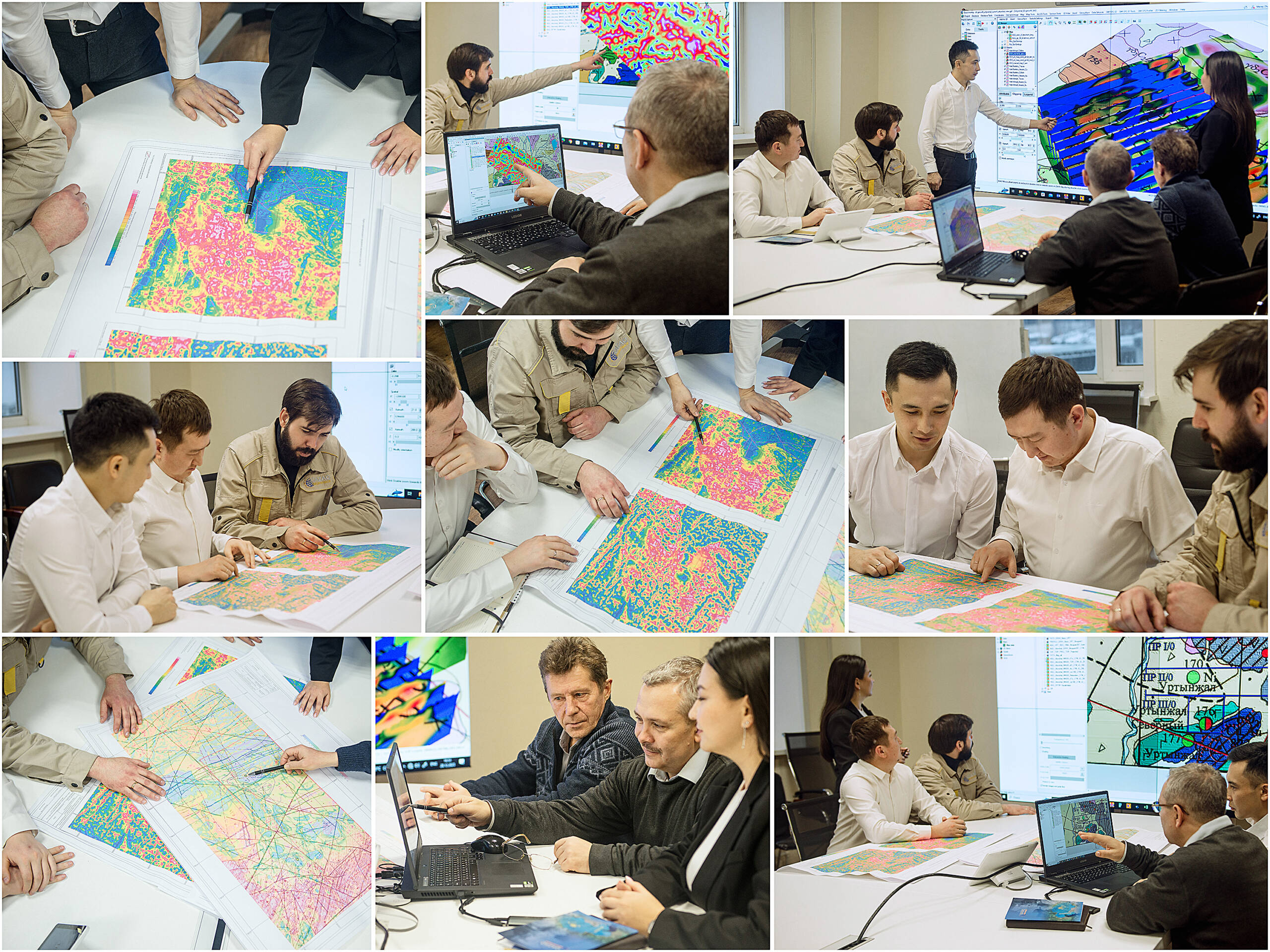
“Qazaq Geophysics (QG)” company – is your reliable partner in solving geological problems Using the latest methods of interpretation of geophysical data.
We provide a full range of turn – key services starting from geophysical surveys and ending with a comprehensive geological and geophysical interpretation of the work carried out.
Our team of professional specialists has extensive experience, guaranteeing quality and accuracy at every stage of the project.
The key methods of interpretation we use are
Data filtering and transformation: Weusevariousdataprocessing techniques to isolate signals and eliminate background interference which provide more accurate results.
Depth assessment of occurrence: Our specialists locate and determine the depth of the upper and lower geological layers and objects using various methods.
Building three dimensional models: We create 3 dimensional models showing the distribution of actual rock properties which enables a better understanding of geological structure.
Local quantitative interpretation: aimed at identifying and evaluating the parameters of isolated geological bodies, This technique allows to study in detail the specific objects.
Zoning of the territory: Zoning methods are used for data systematisation and classification. This helps in detection of specific characteristics.
Mapping of discontinuous faults: Our surveys assist in identifying the discontinuous anomalies.Thisisimportanttounderstandthegeologicalandgeophysicalstructures.
We are proud that our company contributes to successful project execution including mining, hydrogeology and much more.
The collaboration with Qazaq Geophysics (QG) Company assures our clients with reliable data and accurate interpretation that are necessary for informed decision making in order to achieve your goals.


