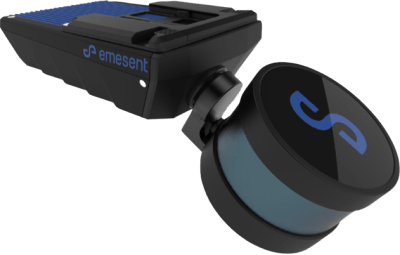
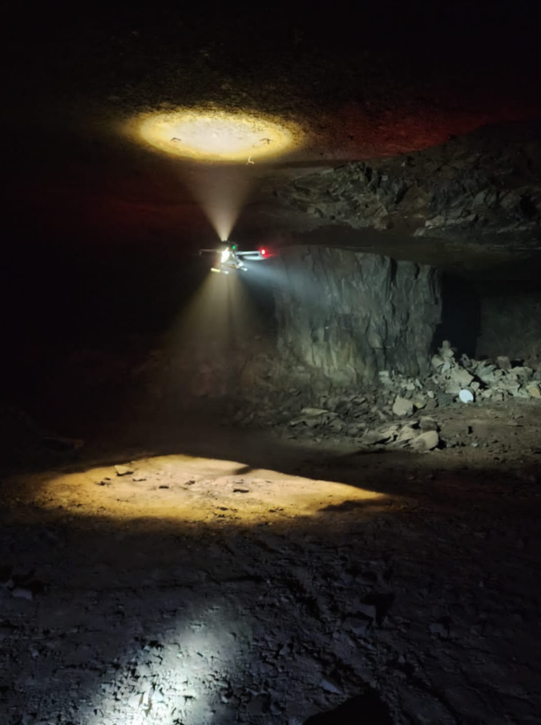
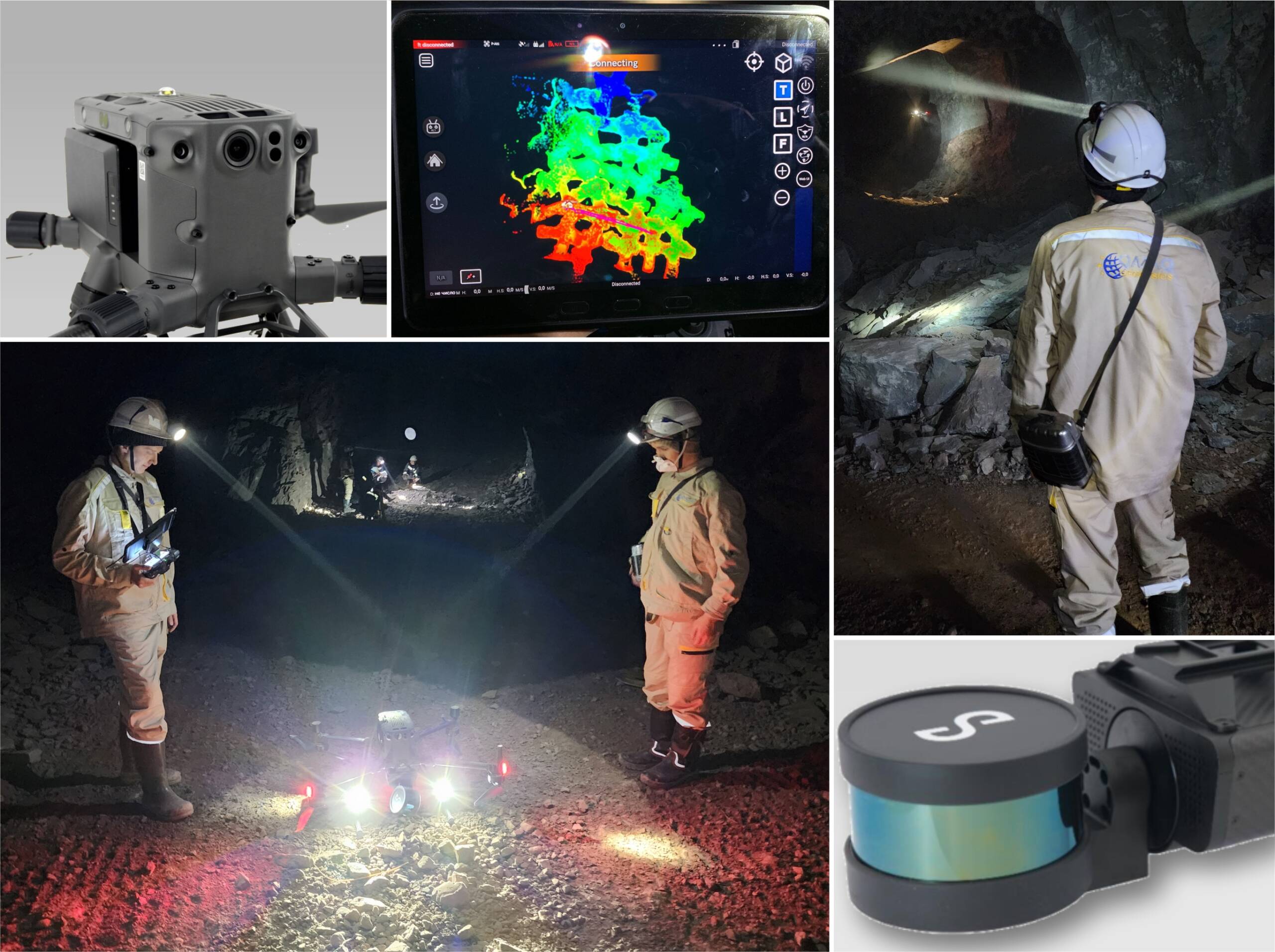
The mobile 3D aerial system on offline mode for underground works.
«Hovermap» – is a portable, high quality solution for real time 3D scanning in accordance with the given route in automatic mode without pilot participation. The flight without Wi-Fi connection and fast SLAM mapping with demonstrated work. The Hovermap system consists of a suspension system with a second level of autonomy, a drone – type air carrier. Accessories, software, training programs for the operation and maintenance of the system.

This system allows you to fly safely both on the surface and underground in the most inaccessible places to collect LiDAR data in three – dimensional format.
Advantages of hovermap tecnology
- exclusion of the human operator with flying difficult conditions;
- smart home return function ( when the battery charge is low, when Wi-Fi connection is lost, in conditions if heavy dust);
- availability of the autonomy mode 2 level (flight along a given route in automatic mode without the participation of a pilot with a smart return home function;
- flying in the absence of communication with the drone;
- flight range beyond the line of sight up to 1.5 km;
- additional colourisation function;
- the ability to film from UAV, a car or on foot.


