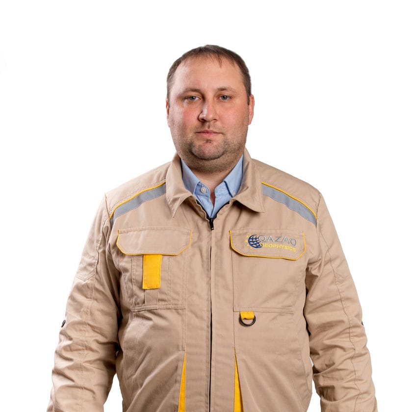
Alexey received a Bachelor’s Degree in Geodesy and Cartography in 2011, graduating from Karaganda State Technical University.
During the last 10 years Alexey has gone from a cartographic engineer to a lead surveyor.
Over the period of those years, he worked in various organizations, including Republic State Government Enterprise “Kazgeodezia”, National Geological Exploration Company “Kazgeologiya” JSC, “Kazahmys Barlau” LLP
Since 2022, he has been working at Qazaq Geophysics (QG) LLP, where he provides full support to geophysical, geological exploration works with geodetic support.
Removal, linking of mine workings.
Topographic survey, coordinate transformation, aerial photography data processing, 3D scanning of mine workings.
Monitoring of life support and progress of work of field teams.
During his career, he took advanced training courses, such as: GNSS equipment and software training, the use of unmanned vehicles in geodesy.
Training in aerial photography data processing, the Operator of the Hovermap Autonomy system.
He was awarded a Commendation from the Geology Committee of the Ministry of Industry and Infrastructure Development of the Republic of Kazakhstan.


