Content
- Aeromagnetic exploration
- Aeroelectronic exploration
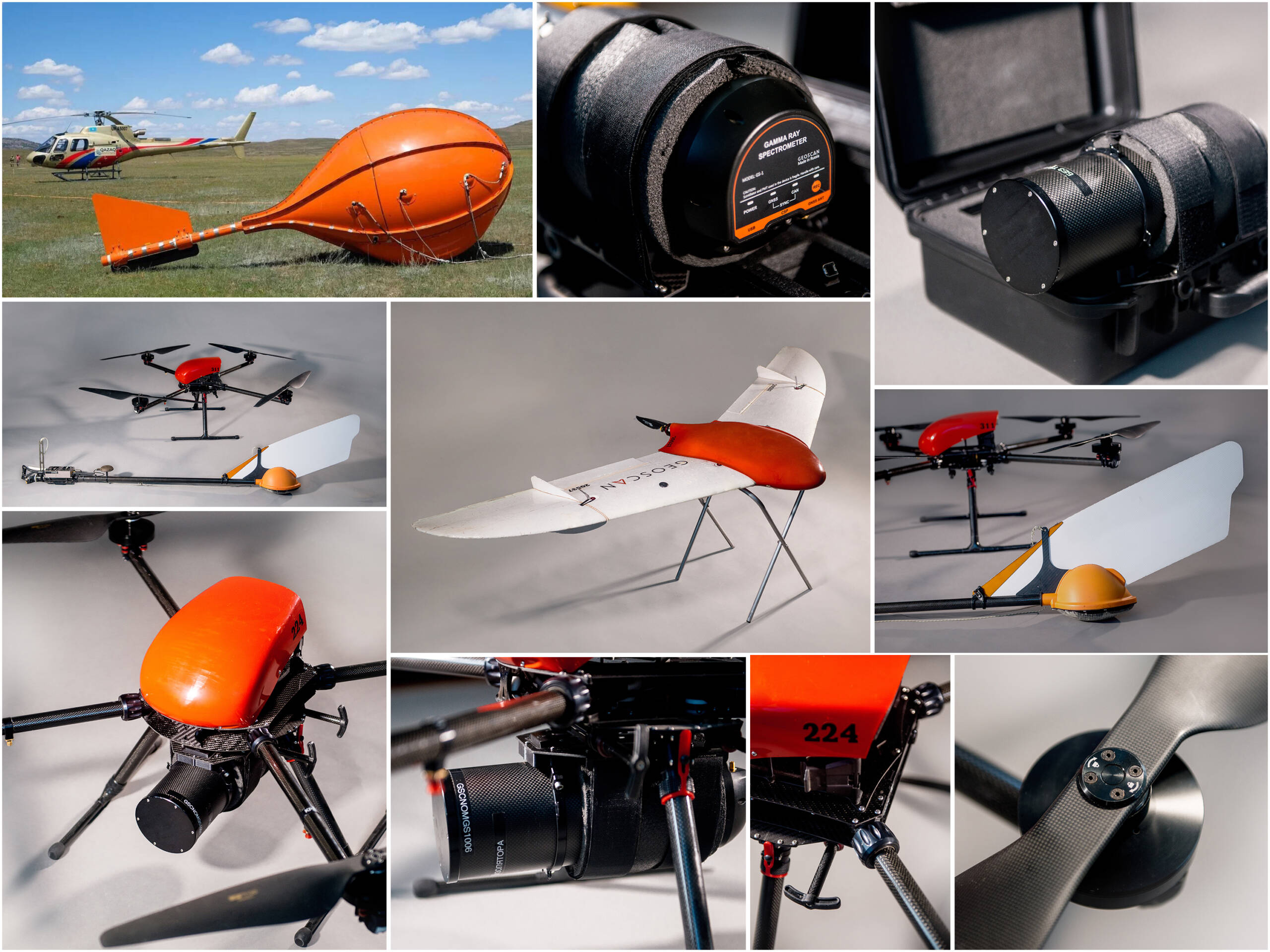
- Magnetic exploration using UAVs
- Spectrometry using UAVs
- Aerial photography using UAVs
Aerogeophysical research has always been different from other geological research technologies with its cost – effectiveness, environmentally friendly, simple integration and efficiency. Modern technology has eliminated the previous disadvantages of low measurement accuracy, shallow depth and limited methods of analysis.
Qazaq Geophysics can offer the market of aerogeophysical surveys the use of innovative geological research technologies. This allows collection of high quality primary data and also thorough interpretation. The company is equipped with software combined with highly qualified in house specialists.
Aeromagnetic exploration
Aeromagneticexploration is based on measuring the module or induction component of the Earth’s geomagnetic field and also is one of the most high – tech methods of analysing the Earth’s crust. Magnetic field anomalies are determined by differences in the magnetic properties of rocks and minerals. This method allows our clients to obtain valuable geological and geophysical data without the need for direct contact with the Earth’s surface.
Aeroelectronic exploration
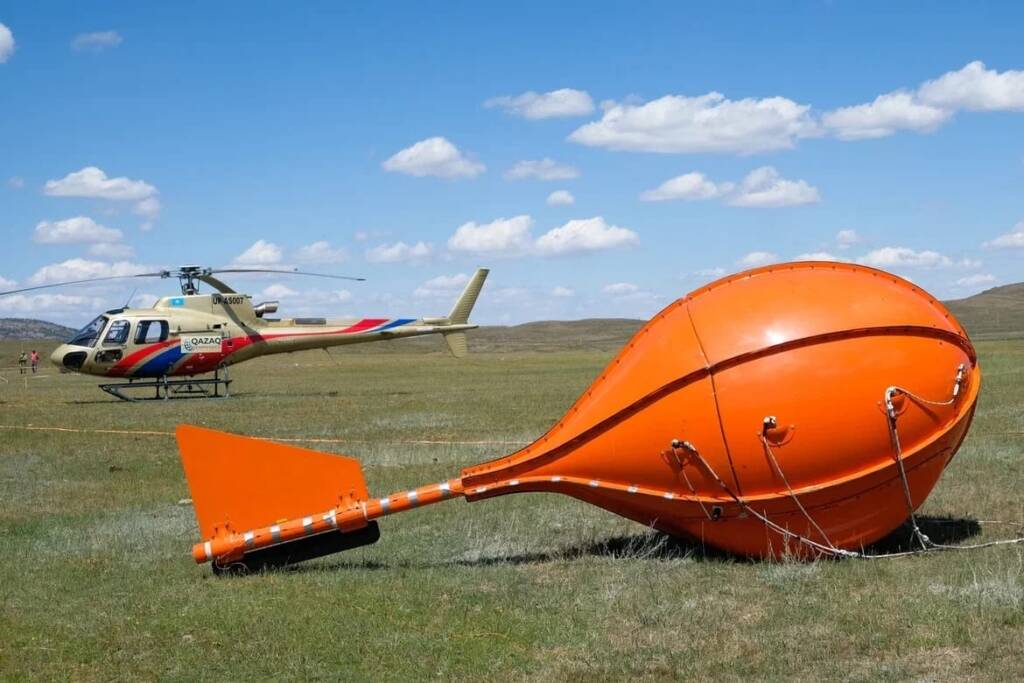
MobileMT
This is the latest development in the field of aeroelectro – magnetic technologies which combine the collection of electromagnetic and magnetic fields this allows you to conduct the research for up to 2 km.
Purpose:
- Operational execution of high – precision digital surveys during search and updating.
- Efficiency, depth of research, quality, effectiveness of search operations.
- Operational identification of sites for detailed groundwork including drilling.
- Optimisation of detailed ground research and drilling.

TargetEM
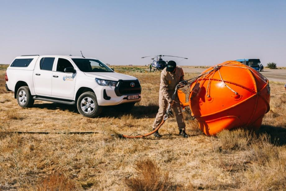
This is a measuring system with a sensor which has an increased sensitivity and depth, it also includes a highly sensitive cesium magnetometer. This system allows you to diagnose conductive and high – resistance objects at depth from 25 to several hundred meters (the first Ohms x m – first tens Ohms x m).

mTEM
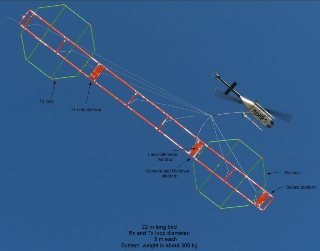
the mTEM system is a research system for shallow electromagnetic fields with high resolution in real time.This system is used in shallow sedementology, hydrogeology, engineering geology, during the mineral exploration and for mapping of the shallow cracks/structures and to identify weathered parts of kimberlites.
Magnetic exploration using UAVs
That research is carried out along the proposed route at a safe altitude with the precision following existing contours.
The aeromagnetic package is created from an unmanned aerial vehicle and quantum magnetometer with a rubidium magnetically sensitive sensor which combines the manoeuvrability of UAV with highly sensitive magnetometric equipment.
The best result from the use of technology is expected when studying medium – sized areas (tens and the first hundreds of square kilometres).
When manned aviation is unprofitable and ground surveys are labour intensive or impossible due to the difficulty of existing ground conditions.


Spectrometry using UAVs
Tasks to be carried out:
- Search and Exploration of radioactive ores, containing uranium, potassium, thorium etc., and also nonradioactive elements.
- Lithological and tectonic mapping.
- Identification of intrusive bodies of various components not uncovered by erosion.
- Identification and tracing of mining control structures and near – ore hydrothermal – metasomatic changes.
- Planning of detailed ground geophysical geophysical, mining and drilling operations.

Aerial photography using UAVs
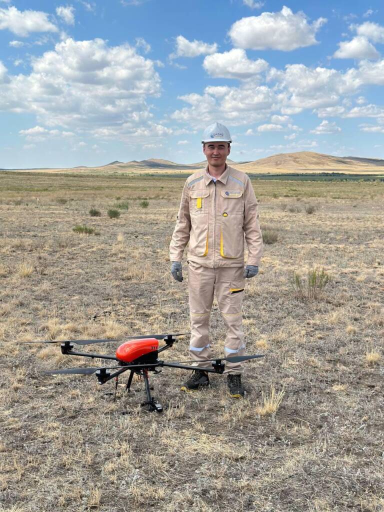
Obtaining accurate and highly detailed terrain photographic plans, terrain models and building 3D – models.
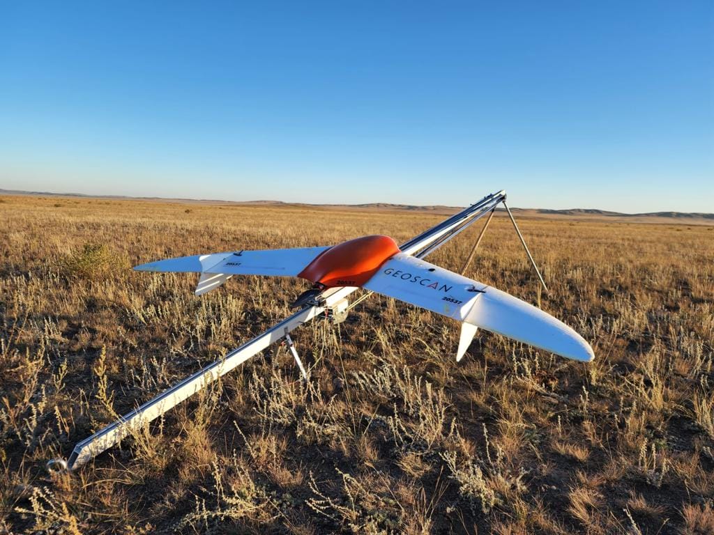
The package includes all the necessary equipment and software for photographing and processing the data received. We operate a number of unmanned devices with varying ranges. This allows us to perform work on various projects – from detached buildings, structures, trenches to significant areas and extended linear facilities.


